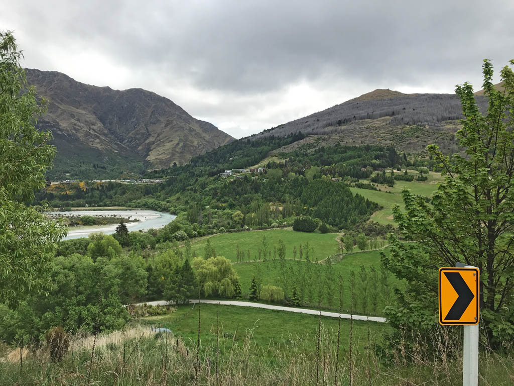
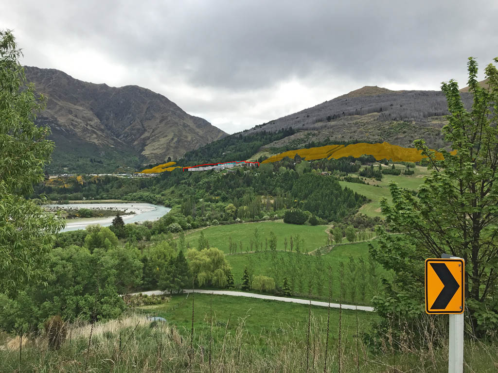
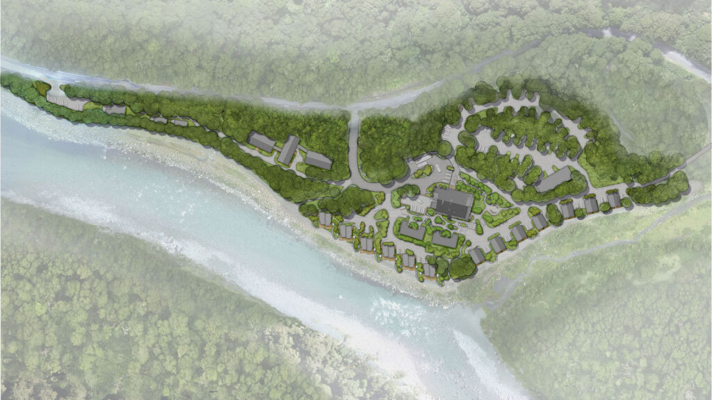
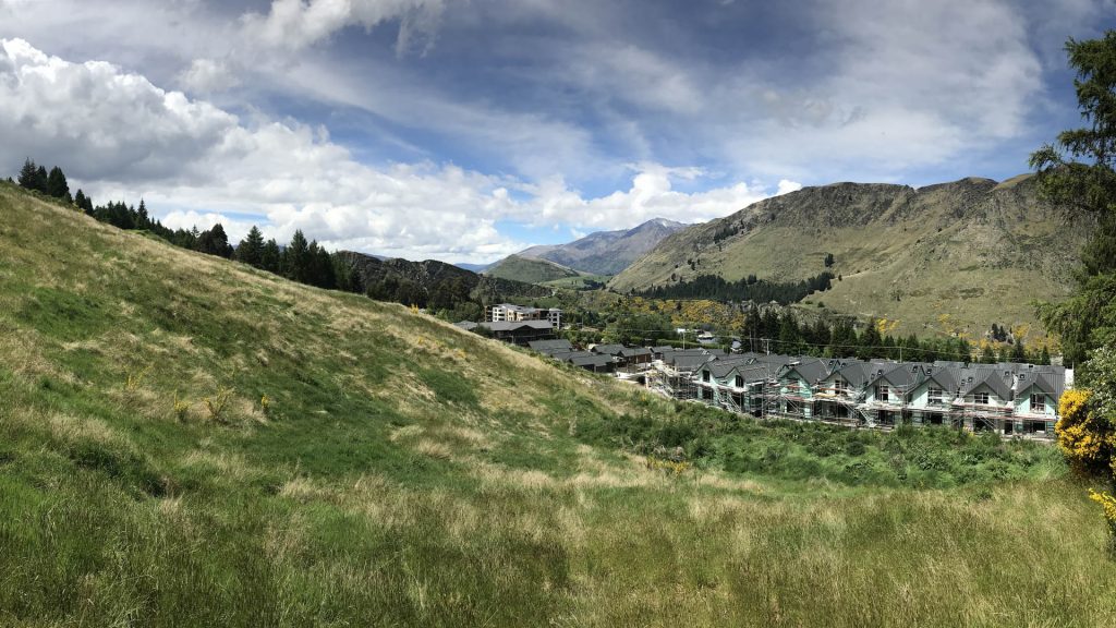
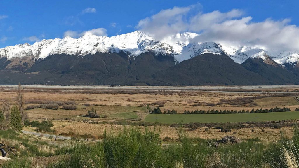
The Top Sites are located at the elevated end of the Tomasi development adjacent to Bullendale at Arthur’s Point, Queenstown. We prepared visual simulations and a landscape assessment report to accompany resource consent application.
Our visual simulations showed the proposed building envelopes, the previously consented development at Tomasi, and the surrounding baseline building envelope allowable under the Operative District Plan. The simulations were used as a tool to determine how the proposal will be viewed in the landscape, to refine the building envelope height limits and conclude that the proposal had less than minor effects on landscape and visual amenity values.
The simulations are created by first building the proposal in 3d software. The location of the photos are recorded by survey or from lidar contour information, relative to the 3d model. We then match survey points with features in the photo and are able to accurately superimpose any proposal in 3D over site photography.